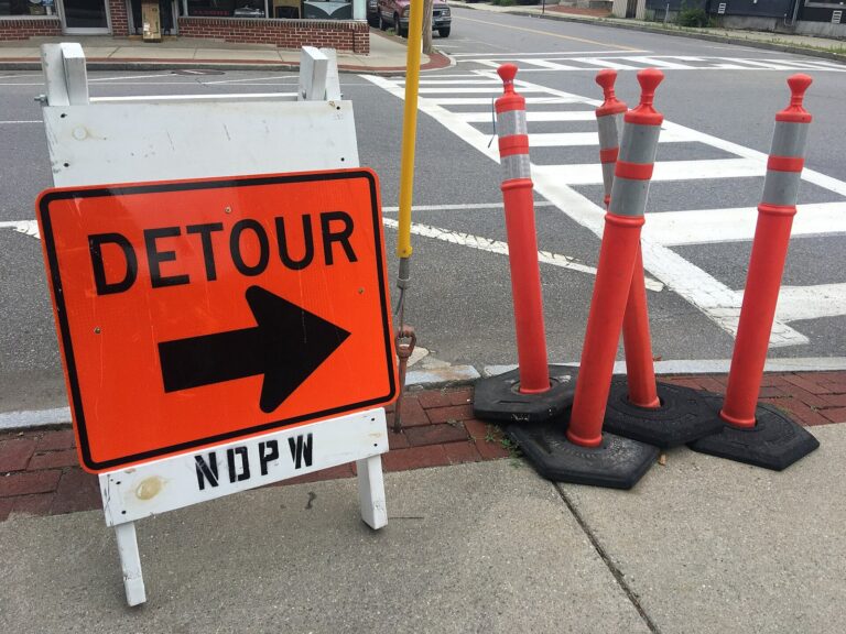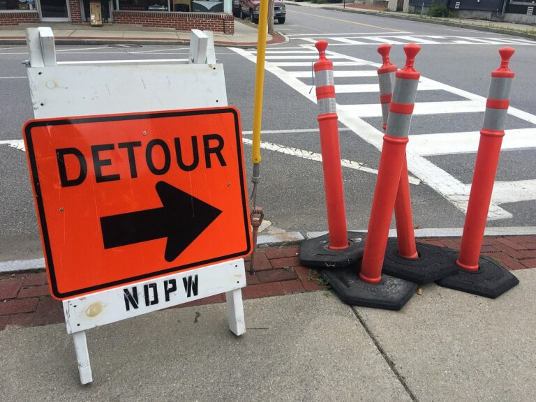
RODANTHE, N.C. — Drivers headed to Rodanthe and the rest of Hatteras Island now have a rough road map for getting N.C. 12 back, though no dates are attached. The N.C. Department of Transportation laid out a three-step plan Monday to reopen the storm-damaged highway on Pea Island, and the first step is a single paved lane by the visitor center.
From the Basnight Bridge south to the edge of Rodanthe, the road remains shut. High tides from a nor’easter tore up roughly 1,100 to 1,200 feet of pavement by the visitor center, cutting the island off from its main road link to the northern Outer Banks.
Crews started on Sunday by pulling out broken pavement, rebuilding a protective dune line and grading the roadbed. The detour, run by flaggers in both directions, comes first. Next, crews will shore up the dunes with sandbags that a vendor is still making. Two-lane traffic returns only after the sandbags are set.
The timing hinges on the ocean. Overwash at high tide keeps flooding the work zone, and king tides are expected to push the highest water of the season onto the Outer Banks today and Wednesday. The state said every step depends on the weather and the tides.
This is the second time this fall crews have patched the same stretch. After a late-September storm, the state built a similar one-lane detour there and brought back two lanes on Oct. 3.
Until the road reopens, the emergency ferry between Rodanthe and Stumpy Point is running around the clock. By the end of Sunday, the boats had carried 2,416 riders and 1,451 cars and trucks across the sound. Dare County runs park-and-ride lots at both ends so people can board on foot.
Dare County’s evacuation order for visitors is still in effect, and only people who meet the county’s priority reentry categories may enter Hatteras Island. The state also warned people to stay out of the work zone, whether by road or by the beach.
Section: More Outer Banks NC crime news
Filed under: Outer Banks NC Traffic News