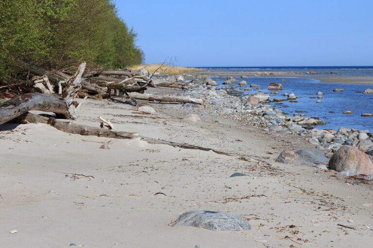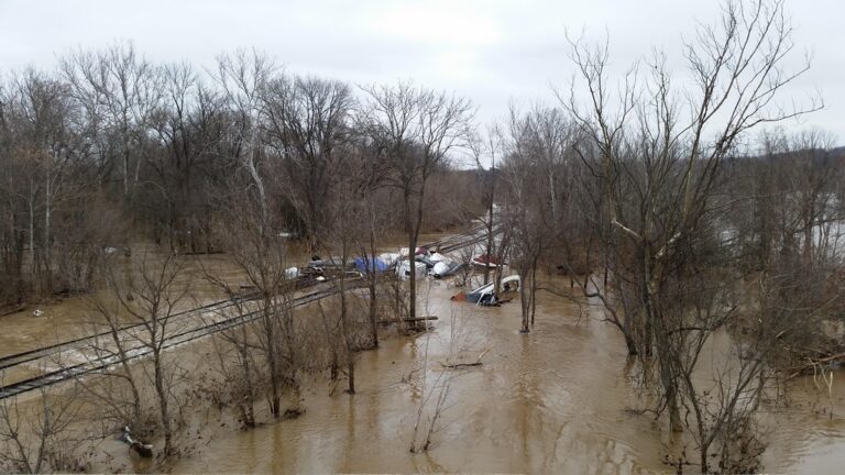
HATTERAS, N.C. — Salt water is not done with Hatteras Island yet. Forecasters have stretched coastal flood advisories for the Outer Banks through Thursday, and the year’s highest astronomical tides arrive Tuesday and Wednesday, right as road crews try to patch N.C. 12 on Pea Island.
The National Weather Service office in Newport/Morehead City expects the worst of it on Hatteras Island. In low spots on both the ocean and sound sides, water could stand 1 to 2 feet above the ground, including parts of Hatteras and Ocracoke islands. Moderate oceanside impacts are forecast for both islands through at least Wednesday.
The wind is expected to ease by Monday evening, but that will not end the threat. The king tides themselves can push water over the dunes even after seas calm down. Beaufort County was added to the advisory area after reports of flooding, and the alert also covers the Crystal Coast and the Neuse, Bay, Pamlico and Pungo rivers, where readings could reach 3 feet above ground.
All of that lands on a highway that is already broken. More than 1,100 feet of pavement near the Pea Island Visitor Center is damaged, and the state has given no estimate for reopening the stretch between the Marc Basnight Bridge and Rodanthe.
Dare County still has a state of emergency and a mandatory evacuation in place for Hatteras Island visitors, and visitors may not enter. The county says the restrictions stop at Oregon Inlet, with no entry limits on the beaches to the north.
For people who must cross, a park-and-ride service started Monday. On weekdays, county shuttle vans carry riders between lots and the ferry docks at Rodanthe and Stumpy Point, starting at 4:30 in the morning and wrapping up at 8:30 at night. Residents can sign up for county emergency texts by sending DareEmergencyAlerts to 77295.
Filed under: Outer Banks NC Weather News