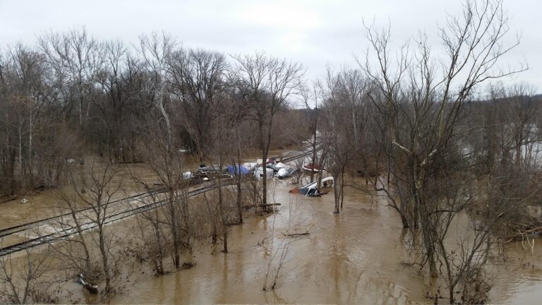
OUTER BANKS, N.C. — Low-lying neighborhoods along the Outer Banks face a stretch of tidal flooding this week as a king tide cycle lines up with gusty northeast winds, and the main highway onto Hatteras Island remains closed with no date set to reopen.
On Ocracoke, a flood advisory for the coast runs through midday Tuesday. Forecasters say water could stand a foot or two deep in the lowest ground near the sound, the beach and tidal creeks, enough to cover waterfront roads, parking lots and yards. The tide cycle should crest Monday through Thursday and top out Tuesday and Wednesday, and the morning high tide is set to be the higher of the two each day.
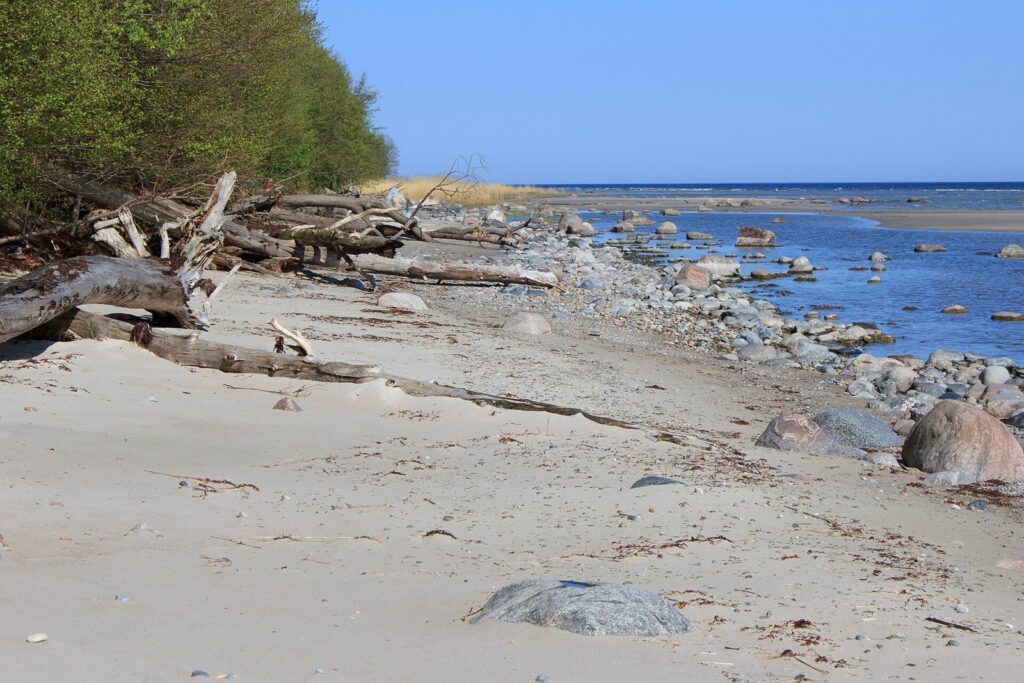
The National Weather Service office in Newport/Morehead City also posted a high surf advisory for the Northern Outer Banks through 8 p.m. Sunday, warning of breakers of 5 to 8 feet, life-threatening rip currents and localized beach erosion. Hatteras Island, where dunes are already weak, could take the worst of the erosion.
Since Oct. 19, the state has kept NC 12 shut from Rodanthe north to the Marc Basnight Bridge after waves kept spilling across the road and chewed up both asphalt and dunes by the Pea Island Visitor Center, the stretch locals call the Canal Zone. The high water is expected to keep road crews from starting repairs.
Gov. Josh Stein put Dare and Hyde counties under an emergency order on Oct. 22 and asked the Federal Highway Administration for emergency relief money to fix the road. Visitors are barred from Hatteras Island while the emergency stands.
Since Oct. 22, emergency boats have again shuttled people from Stumpy Point to Rodanthe. Ferries to Ocracoke from Swan Quarter and Cedar Island keep their usual times, but Hatteras Inlet crossings run less often. Drivers are urged to allow extra time, stay off barricaded roads and never drive through standing water.
Filed under: Outer Banks NC Weather News