OUTER BANKS, N.C. — Seawater is again spilling across N.C. 12 on Pea Island, as a second nor’easter in about a month batters the same Outer Banks stretch that road crews only recently put back together.
Images from Pea Island on Monday showed overwash reaching vulnerable sections of the highway where workers had been building up protective sand barriers ahead of the storm. State transportation crews were piling sand along the road as late as Sunday.
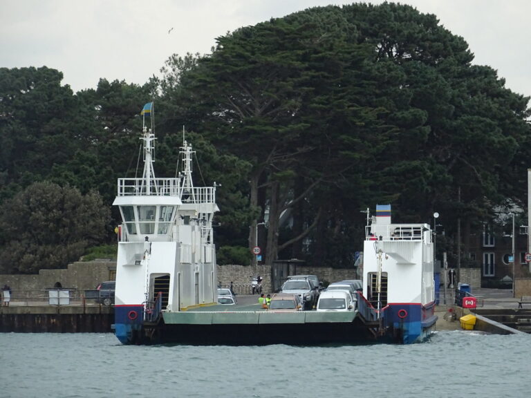
The September storm tore up about 1,000 feet of the highway near the Pea Island Visitor Center, where pavement was broken or undermined. That closure was serious enough that the state opened its emergency ferry from Stumpy Point to Rodanthe, a link to the mainland that had not been used since 2013.
The stakes are high because there is no detour. N.C. 12 is the only road through Hatteras Island, and storms and overwash close it often, cutting off whole communities and the businesses that depend on through traffic.
Visitors remain under a mandatory evacuation order for Hatteras Island and are barred from entering. Residents, and the parts of Dare County north of Oregon Inlet, are not covered by the order.
Gusts above 51 mph were recorded at Diamond Shoals, and forecasters expect the slow storm to keep driving wind, beach erosion and tidal flooding for several more days. Coastal flood warnings and high surf advisories were posted across much of the Outer Banks. Anyone planning a drive south toward Hatteras should check DriveNC.gov and state ferry updates first.
Section: More Outer Banks NC crime news
Filed under: Outer Banks NC Traffic News