OUTER BANKS, N.C. — Anyone with plans on Hatteras Island this weekend should be ready for N.C. 12 to close, as a fresh coastal storm reaches the Outer Banks, N.C., starting Saturday afternoon.
State road officials are most concerned about the Pea Island section they only just finished rebuilding. Last month a nor’easter ripped apart roughly 1,000 feet of pavement near the wildlife refuge visitor center, and for close to a week nobody could drive onto Hatteras Island. That closure began Sept. 24 and stretched five days near the Pea Island Visitor Center.
Repairs came in stages. A single-lane gravel bypass came first, followed by fresh pavement and a reinforced dune line, and traffic has flowed normally for most of this month after two unrestricted lanes reopened Oct. 3.
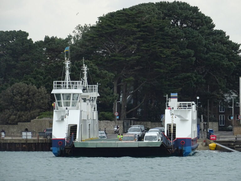
Now the Transportation Department has moved heavy machinery into position on Pea Island, on Hatteras and on Ocracoke so work can start fast if water or sand covers the road. Crews have also fortified protective dunes along the vulnerable stretches. The state also has its emergency ferry ready again between Rodanthe and Stumpy Point. That boat ran during the September storm, its first activation since 2013, when wait times hit 24 hours or more.
Depending on how long the overwash lasts, the highway could stay closed for multiple days. The stakes are high because the highway is the lone road link for Hatteras villages such as Rodanthe, Avon, Buxton and Hatteras Village. Overwash and storm closures happen often, and each one isolates residents and stalls the island economy. Ocracoke depends on state ferries for its own connection to the mainland.
The Outer Banks stretch about 200 miles along the North Carolina coast, and the Cape Hatteras area ranks among the most hurricane-prone places on the East Coast.
Drivers are urged to slow down near high tide and never to drive around barricades if crews close the highway. Current conditions are posted at DriveNC.gov.
Section: More Outer Banks NC crime news
Filed under: Outer Banks NC Traffic News