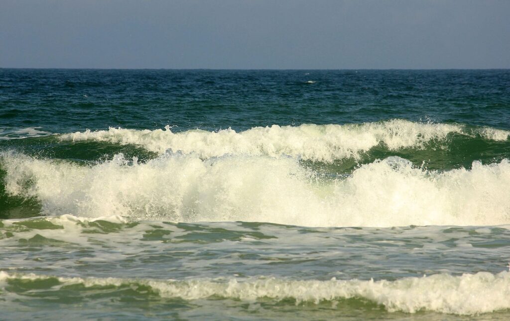
OUTER BANKS, N.C. — Swimmers and surfers on the northern Outer Banks are being told to stay out of the water Sunday, as a high surf advisory runs from 10 a.m. until 1 a.m. Monday while a weekend coastal storm churns past offshore.
The National Weather Service office in Newport/Morehead City issued the advisory early Sunday. Forecasters expect breaking waves of 6 to 8 feet in the surf zone, along with rough swimming conditions and pockets of beach erosion. People without much ocean experience should stay on the sand until the surf settles.
The good news is that the storm itself has lost strength. In a Saturday morning briefing, the weather service said most of the system should stay offshore, and the odds of it becoming a tropical or subtropical system had dropped to 10%, after sitting at 60% on Thursday and 50% on Friday.
Wind is no longer the main worry on land. Forecasters put the chance of gusts above 39 mph at under 5% anywhere in eastern North Carolina, with peak gusts near 28 mph in Rodanthe and on Ocracoke and around 26 mph in Buxton. Winds were expected to peak Saturday night and ease through Sunday.
Out at sea it is a different story. The most likely forecast calls for offshore waves of 7 to 11 feet into Sunday, and a worst case could push them to 9 to 14 feet, depending on the track. That energy can still chew into beaches, especially on Hatteras Island, where dunes are already thin after recent storms. Minor oceanside flooding is also possible.
State transportation crews spent the end of the week shoring up N.C. 12 on Pea Island and planned to check the highway early Sunday around the 5 a.m. high tide. Forecasters are also keeping an eye on a possible second coastal storm around the middle of next week.
Filed under: Outer Banks NC Weather News