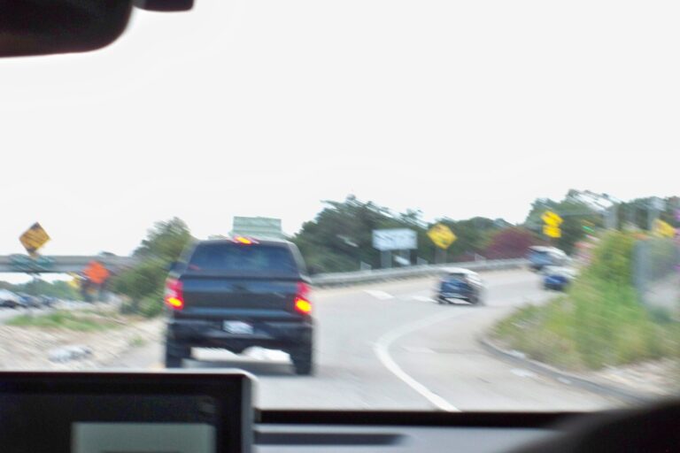
Drivers bound for Hatteras Island from the Outer Banks, N.C., are squeezing into one lane on N.C. 12 close to the visitor center at Pea Island, where sandbag crews went to work Friday, Nov. 6. Automated signals take turns sending northbound and southbound cars through, and the job is expected to last roughly a month.
State highway crews are laying out some 1,100 sandbags measuring 15 feet apiece, across 1,600 feet of roadway. Their purpose is to stop erosion from eating away at the pavement, which took heavy damage from October’s nor’easter after repeated ocean overwash. Traffic still moves through the damaged corridor.
When the bags are finished, a second lane gets paved so two-lane travel can return. No date has been set for that, and rough surf can push back coastal work. Because this stretch is the lone route from the Marc Basnight Bridge down to Hatteras Island, all traffic to the villages farther south, and to the ferry at Hatteras, passes through the work zone. Travelers who have ferry reservations should leave early.
The refuge’s visitor center and its parking lot are open again following storm cleanup. Beach access from that lot stays shut, with no reopening timeline.
Meanwhile, NCDOT is chasing a permanent answer: moving roughly 3,300 feet of highway up to 180 feet inland to the west, plus a protective dune along today’s roadway. Making room means the Fish and Wildlife Service would need to relocate or rebuild the visitor center it owns, and the state needs a new easement and permits. NCDOT says bidding can open once permits and land negotiations allow.
Public comment on that realignment proposal is open from Nov. 10 to Nov. 24. Comments can be sent via the Park Service’s planning website, parkplanning.nps.gov/NC12, or by email or mail.
Separately, an access study known as SAND is weighing options for the 11-mile stretch that runs from the Marc Basnight Bridge down to Rodanthe. State and federal highway officials are holding three open houses, 5 to 7 p.m. each. Nags Head’s Jennette’s Pier hosts the first on Nov. 17, followed by the Rodanthe-Waves-Salvo Community Building on Nov. 18 and the Hatteras Civic Center on Nov. 19. The federally funded study is due to wrap up in summer 2027. Current road conditions are posted on DriveNC.gov.
Section: More Outer Banks NC crime news
Filed under: Outer Banks NC Traffic News