News Summary
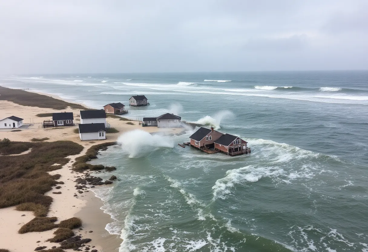
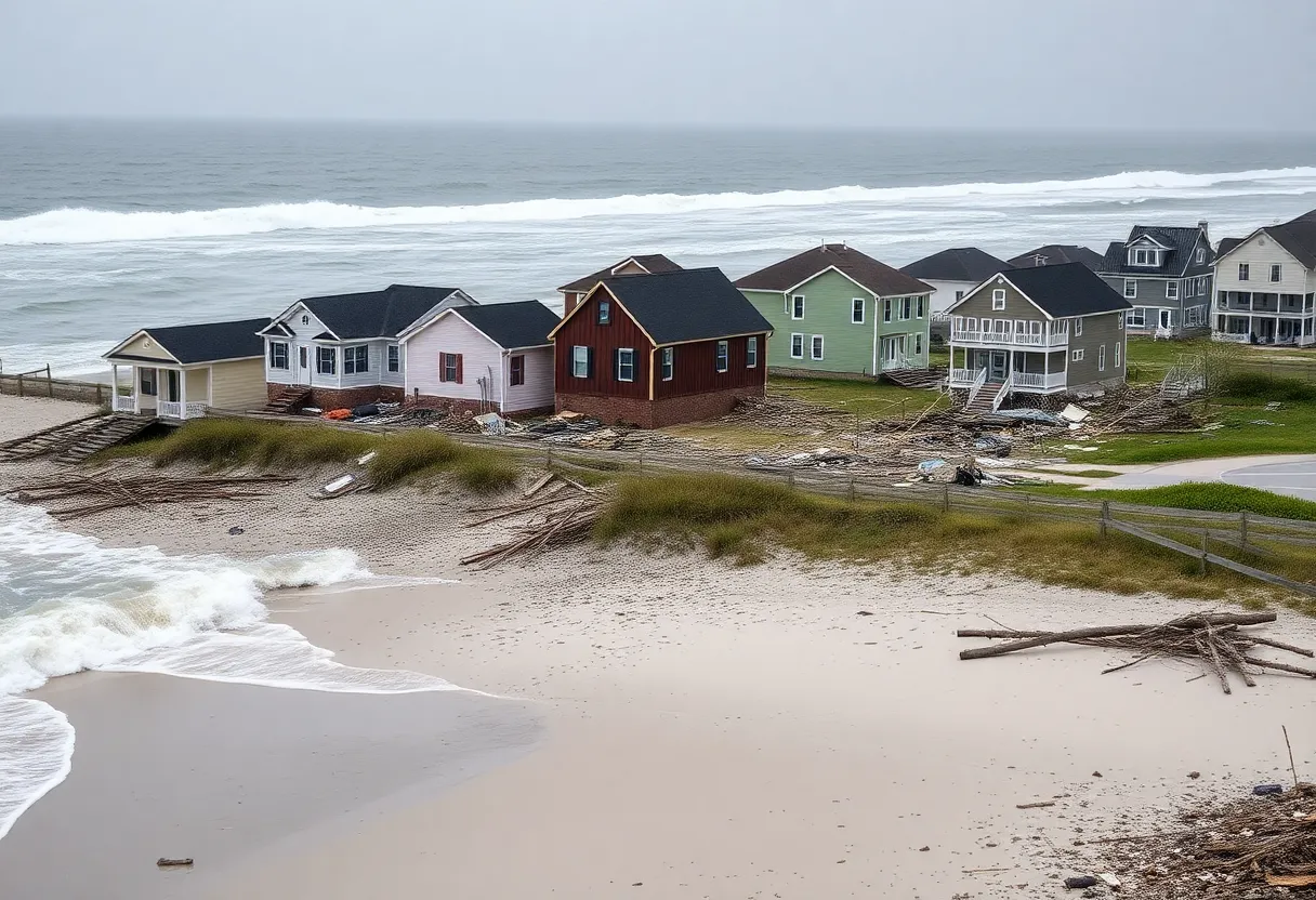
Tropical Depression 3 has been upgraded to Tropical Storm Chantal, bringing heavy rainfall and strong winds to the South Carolina coast. Currently located southeast of Charleston, the storm is expected to make landfall during the night. Authorities have issued warnings and watches for coastal areas as the storm poses risks of flash flooding and tornadoes. Residents are advised to prepare for severe weather and hazardous surf conditions. Public safety agencies are closely monitoring the storm’s trajectory and urging community readiness.
Charleston, South Carolina – Tropical Depression 3 has officially upgraded to Tropical Storm Chantal as of Saturday, July 5, bringing significant weather changes to the coastal areas of South Carolina. The storm is currently positioned approximately 95 miles southeast of Charleston, with maximum sustained winds clocked at 45 mph as per the latest data at 5 p.m. The winds are anticipated to strengthen, reaching peak speeds of up to 50 mph by the time the storm makes landfall.
Tropical Storm Chantal is moving north at a speed of 7 mph but is expected to shift to a northwest trajectory later this evening. The forecast indicates that the center of Chantal is likely to make landfall along the South Carolina coast overnight or in the early hours of Sunday. As a precaution, a tropical storm warning is currently active from South Santee River, South Carolina, to Surf City, North Carolina, while a tropical storm watch has been issued for Edisto Beach to South Santee River, South Carolina.
The coastal regions are bracing for tropical storm conditions beginning Saturday evening, continuing through Sunday morning. Heavy rainfall is projected across the coastal plain areas, with total accumulations expected to range from 2 to 4 inches and locally higher amounts possible, reaching up to 6 inches in some regions. This deluge invites an elevated risk for flash flooding, which residents and local authorities are advised to prepare for.
In addition to rain, the storm’s potential for severe weather includes the possibility of isolated tornadoes, especially in eastern South Carolina and eastern North Carolina, from tonight through Sunday. As safety protocols increase, the National Weather Service warns of dangerous surf conditions along Florida’s east coast and extending up to the Mid-Atlantic states, including the Outer Banks, raising concern for swimmers and beachgoers.
Flood Watches have been instated for several counties straddling the South Carolina-North Carolina border, attributed to a combination of heavy rain and high tides. Residents in affected areas are urged to stay alert as flash flooding can develop rapidly due to the incoming rain. There is also a likelihood of minor storm surge flooding, which could reach peak heights of 1-3 feet in the warning zones.
Of note, a substantial expanse of tropical storm-force winds is projected to extend up to 140 miles from the center of Chantal, primarily to the east. This broad wind field poses additional risks to coastal and nearby inland communities.
As Chantal continues its trajectory toward the Carolina coast, local authorities and agencies are monitoring the storm’s development closely. The Atlantic hurricane season is currently underway and will continue until November 30, peaking from mid-August to mid-October—highlighting the importance of community preparedness during this time. Residents in the warning and watch areas are encouraged to stay tuned for updates, heed warnings from officials, and prepare for possible evacuations should the situation escalate.
In summary, Tropical Storm Chantal stands as a weather threat with significant rainfall, strong winds, and the risk of tornadoes. Communities along the South Carolina and North Carolina coasts are being cautioned to remain vigilant as the storm approaches.
Deeper Dive: News & Info About This Topic
HERE Resources
Tropical Storm Chantal Hits the Southeast U.S. Coast
Tropical Depression 3 Forms Off South Carolina Coast
Tropical Depression Three Forms Off The Southeast Coast
North Carolina Launches Hurricane Preparedness Campaign
Additional Resources
- Fox Weather: Tracking Tropical Storm Chantal
- CBS News: Tropical Storm Chantal Forms
- WLTX: Tropical Storm Chantal Forecast
- Wikipedia: Tropical Cyclone
- Google News: Tropical Storm Chantal


