News Summary
A severe thunderstorm warning has been issued for the Northern Outer Banks until 8:45 PM, with risks of marble-sized hail and strong wind gusts up to 50 mph. Residents in areas such as Sanderling and Duck Coe Pier should take precautions. The National Weather Service advises seeking shelter indoors and remaining vigilant as conditions could lead to further severe weather development.
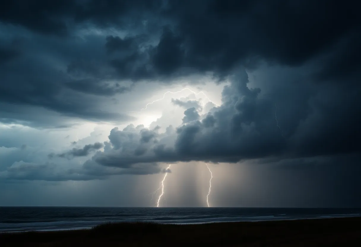
Severe Thunderstorm Warning in Northern Outer Banks
Northern Outer Banks is currently under a severe thunderstorm warning effective until 8:45 PM, as reported by the National Weather Service (NWS) in Newport/Morehead City. Residents are advised to take precautions as the storms are expected to potentially produce marble-sized hail measuring up to 0.5 inches and wind gusts that could reach as high as 50 mph.
At approximately 8:16 PM, Doppler radar detected a robust thunderstorm near Grandy, moving eastward at a speed of 30 mph. The storm poses risks of gusty winds that may down tree limbs and cause unsecured objects to be blown around. Minor hail damage to vegetation in the area is also possible. The warning particularly affects locations including Sanderling and Duck Coe Pier.
Safety Precautions
The NWS recommends that individuals who are outdoors should seek shelter inside a sturdy building to stay safe from the storm’s impact. Additionally, a Severe Thunderstorm Watch is in effect until midnight for various parts of eastern North Carolina, indicating that conditions are favorable for severe thunderstorms to develop.
Understanding the Risks
Email 25 million times annually, with summer seeing the highest frequency of strikes. This season also accounts for approximately 20 fatalities each year due to lightning. When a thunderstorm approaches, the risk of lightning increases and peaks when the storm is directly overhead, making it crucial to seek shelter promptly.
The danger of thunderstorms is further heightened by the potential for hydroplaning, which occurs when a vehicle slides uncontrollably on wet roads. Hydroplaning happens when water accumulates quicker than a vehicle can disperse it, causing the tires to lift and lose contact with the road surface. Factors such as tire condition, driving speed, and the amount of water present on the road contribute to this hazardous driving condition.
Background on Thunderstorms
Thunderstorms can produce dangerous weather conditions, including lightning, heavy rainfall, and wind. As they develop, the energy in the atmosphere can lead to severe weather events, including thunderstorms with significant wind and hail. It is important for residents in areas prone to such weather to stay informed and ready to respond when warnings are issued. Safety measures, such as staying indoors and being aware of the risks of stray lightning, can mitigate the dangers these storms present.
As the Northern Outer Banks faces this severe weather event, it is imperative for residents and visitors alike to remain vigilant and prioritize safety during this time. Monitoring local weather reports and adhering to advisories from authorities can help ensure the well-being of everyone in the affected areas.
Deeper Dive: News & Info About This Topic
HERE Resources
Severe Flooding Strikes Coastal North Carolina
Flash Flooding Causes Chaos in Portsmouth, Virginia
Coastal Storm Causes Severe Flooding and Destruction in Outer Banks, NC
Severe Thunderstorms and Heat Advisories Issued for Eastern North Carolina on June 27, 2024
Outer Banks Braces for Coastal Flooding, High Surf, and Gale Warning Starting Thursday Evening
Severe Thunderstorms and Coastal Flooding to Hit Outer Banks This Thursday and Friday
Additional Resources
- Herald Sun: Severe Weather Update
- Wikipedia: Thunderstorm
- News Observer: Weather News
- Google Search: Severe Thunderstorm Warning
- CBS 17: Outer Banks Snowfall Warning
- Google Scholar: Thunderstorm Safety
- Pilot Online: Tornado Impact on Outer Banks
- Encyclopedia Britannica: Severe Weather


