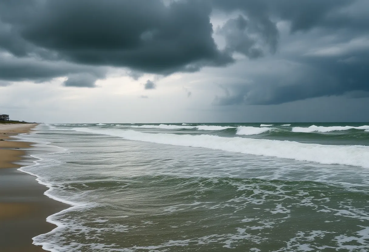
Outer Banks, North Carolina, September 7, 2025
News Summary
The Outer Banks of North Carolina is under a tropical storm watch as Hurricane Erin nears the region. Currently a Category 3 hurricane, Erin poses a significant threat of rip currents and high surf, prompting evacuation orders in Hatteras and Ocracoke Islands. With waves expected to reach over 20 feet and coastal flooding anticipated, emergency responders are on alert. Residents are warned to avoid water activities as the risk of life-threatening conditions increases along the U.S. East Coast.
Outer Banks, North Carolina – Much of North Carolina’s Outer Banks is under a tropical storm watch as Hurricane Erin approaches the region. Erin is currently a Category 3 hurricane that rapidly intensified over the weekend, bringing with it severe weather implications for coastal communities.
The tropical storm watch extends from Beaufort Inlet to Duck, including the Pamlico Sound. A tropical storm watch indicates that sustained winds between 39 and 73 mph could be experienced in the watch area within the next 48 hours. Although Erin is expected to remain offshore, it poses significant risks such as life-threatening rip currents and large waves along the U.S. East Coast and Bermuda.
Emergency responders in New Hanover County reported at least 75 rescues from rip currents in recent days, though there have been no injuries. A no-swim advisory has been issued for Wrightsville Beach from August 19 to August 22 due to the potential dangers of strong rip currents.
The National Weather Service has issued warnings regarding the imminent threat from rip currents and high surf at the beaches, despite the hurricane not making landfall. Rough seas and large swells are expected to impact much of the U.S. East Coast and Bermuda starting Tuesday and are predicted to worsen throughout the week.
Already, Erin’s outer rain bands have affected Puerto Rico, leading to reports of flash flooding and power outages. In the Turks and Caicos Islands, one airport has closed, while Howard Hamilton International Airport in Providenciales is projected to reopen Tuesday morning.
Hurricane Erin is forecasted to curve north-northeast between the U.S. East Coast and Bermuda, without making direct landfall but is expected to grow in size. The potential for coastal flooding and ocean overwash is anticipated from Tuesday through Thursday. Dare County has declared a local state of emergency, issuing a mandatory evacuation order for Hatteras Island, as portions of N.C. Highway 12 may be impassable for several days due to expected flooding. Hyde County has also declared a state of emergency and issued an evacuation order for Ocracoke Island due to similar flooding concerns.
Extensive beach erosion is also a significant concern, with waves forecasted to reach 20 feet or more, leading to damaged dunes posing hazards for beachfront homes. The risks of home collapses are particularly alarming, given that the tides around the Outer Banks will reach their highest levels of the month on Wednesday and Thursday. Rip current risks are expected to escalate from Florida to New England between Tuesday and Thursday, even during clear weather conditions.
This year alone, 44 people have died from rip currents and surf-zone hazards in the U.S., making rip currents one of the leading causes of marine fatalities. Officials stress the importance of avoiding water activities when rip current alerts are active, highlighting the life-threatening nature of these currents.
In Puerto Rico, residents remain under a flood watch with additional rainfall expected in the Turks and Caicos and eastern Bahamas. Tropical storm warnings are currently in effect for the Turks and Caicos Islands and southeastern Bahamas, while a tropical storm watch has been issued for central Bahamas. Bermuda is also expected to experience rough seas and possible tropical storm-force winds later this week.
Hurricane Erin has undergone rapid intensification, with its wind speeds peaking at 160 mph on Saturday before tapering to Category 3 and 4. This rapid change underscores the influence of climate change on storm behavior. Forecasters predict above-average tropical activity this season, especially between mid-August and mid-October.
Key Features of Hurricane Erin
| Feature | Details |
|---|---|
| Current Status | Category 3 Hurricane |
| Tropical Storm Watch Area | Beaufort Inlet to Duck and Pamlico Sound |
| Dangerous Weather Impact | Lifesaving rip currents, large waves |
| Evacuations Ordered | Hatteras Island and Ocracoke Island |
| Forecast Waves Height | 20 feet or more |
| Surf-Zone Fatalities This Year | 44 deaths |
| Expected Coastal Flooding | Tuesday through Thursday |
FAQs
What areas are under a tropical storm watch due to Hurricane Erin?
A tropical storm watch is in effect from Beaufort Inlet to Duck, North Carolina, including the Pamlico Sound.
What evacuation orders have been issued?
Dare County has issued a mandatory evacuation order for Hatteras Island, while Hyde County has issued an order for Ocracoke Island.
What is the current threat level from rip currents?
Rip current risks are expected to escalate along the East Coast from Florida to New England, even during clear weather conditions.
Deeper Dive: News & Info About This Topic
HERE Resources
North Carolina’s Outer Banks Devastated by Hurricane Erin
Discover North Carolina’s Charming Small Towns for Travelers
Tragic Drowning Incident in Nags Head, North Carolina
Fishing Trip Turns Troublesome for Captain Danchise
Hurricane Erin Triggers Life-Threatening Coastal Conditions in North Carolina
Motorist Delays on N.C. Highway 12 Due to Waterline Project
Hurricane Erin Triggers High-Risk Conditions Along North Carolina’s Outer Banks
Hurricane Erin Triggers Evacuations in Hatteras, NC
Homes in Rodanthe Threatened by Hurricane Erin and Erosion
Rodanthe Residents Brace for Hurricane Erin’s Fury
Additional Resources
- AP News: Hurricane Erin and the Outer Banks
- Wikipedia: Hurricane Erin
- Washington Post: Hurricane Erin Path
- Google Search: Hurricane Erin
- CNN: Hurricane Erin Impact Tracking
- Encyclopedia Britannica: Hurricane Erin
- CBS News: Hurricane Erin Updates
- Google News: Hurricane Erin
- Reuters: Hurricane Erin Threat to Outer Banks
- Google Scholar: Hurricane Erin


