Outer Banks, North Carolina, August 19, 2025
News Summary
Hurricane Erin, a Category 4 storm with winds up to 140 mph, is causing mandatory evacuations in the Outer Banks, particularly Hatteras and Ocracoke Islands. Although the hurricane is expected to stay offshore, its effects are already noticeable with dangerous surf and predicted coastal flooding from August 19 to 22. Local officials are preparing for flooding and storm surges, and residents are advised to secure properties and move vehicles to higher ground. Emergency services may be affected in the region as the storm approaches.
Outer Banks, North Carolina – Hurricane Erin, a Category 4 storm with maximum sustained winds of 140 mph, is forcing mandatory evacuations in the Outer Banks as it approaches the East Coast. While the hurricane is expected to remain offshore, its impact is already being felt with significant evacuations ordered for Hatteras Island and Ocracoke Island. The threat of dangerous weather prompted tourists to cut their vacations short, as they faced lengthy ferry waits to depart the islands.
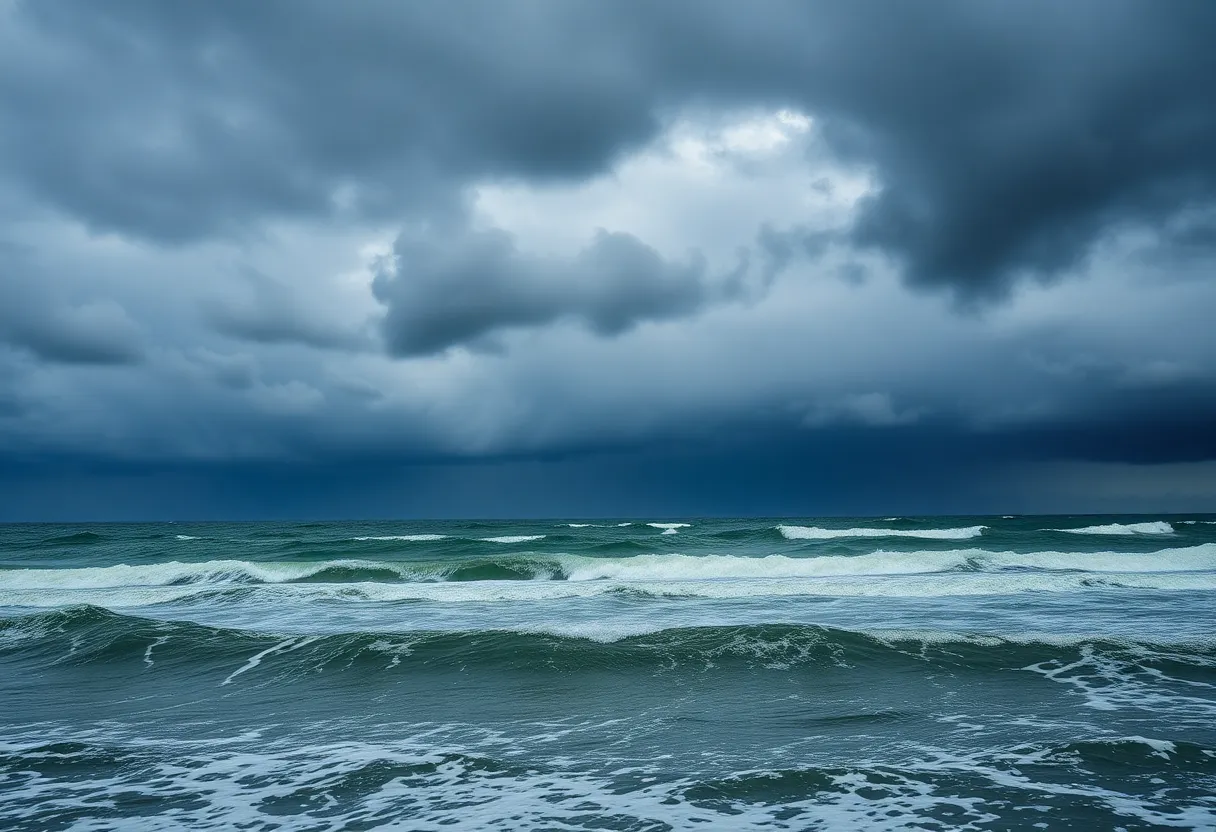
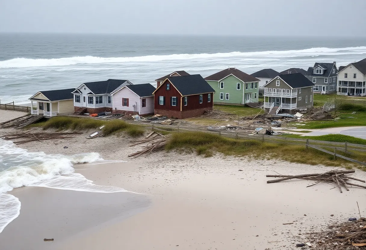
The storm has generated rip currents and waves reaching heights of 15 feet along the coastline, creating hazardous conditions for swimmers. A tropical storm watch is in effect along the middle of North Carolina’s coast, with winds ranging from 39 to 73 mph predicted. Coastal flooding is anticipated to commence on August 19 and persist through August 22, as local officials brace for major storm surges and potential beach erosion.
As Hurricane Erin nears, Dare and Hyde counties have declared local states of emergency in response to the expected flooding. Residents are being advised to move their vehicles to higher ground and secure their properties in anticipation of severe impacts. Coastal roads, particularly North Carolina Highway 12, may become impassable due to flooding and ocean overwash.
Emergency services may be unavailable on affected islands if conditions worsen. The National Hurricane Center reports that hurricane-force winds extend up to 80 miles from Erin’s center. Emergency preparations are underway, as previous experiences from storms illustrate the dangers of heavy surf and beach erosion, which can damage protective structures and flood inland areas.
Hurricane Erin briefly reached Category 5 status with winds of 160 mph but fluctuated back to Category 4 due to wind shear. Its outer bands have already impacted the Turks and Caicos Islands and the southeast Bahamas, resulting in service suspensions and power outages in those areas. In New Hanover County, hazardous beach conditions have resulted in at least 75 rip-current rescues.
The storm’s rapid intensification and large wind field raise concerns about climate change and its effect on storm patterns, highlighting the necessity for continued monitoring and preparedness as the Atlantic hurricane season progresses. The season, which began on June 1, typically peaks from mid-August to mid-October.
Key Points About Hurricane Erin
- Category: 4 Hurricane with 140 mph winds
- Location: Approximately 690 miles southwest of Bermuda and 780 miles south-southeast of Cape Hatteras
- Evacuations: Mandatory for Hatteras and Ocracoke Islands
- Waves: Hazardous surf with 15-foot waves reported
- Flooding: Anticipated from August 19 to August 22
- Emergency Declarations: Local states of emergency declared in Dare and Hyde counties
- Rip Current Rescues: At least 75 rescues in New Hanover County due to dangerous conditions
Background Context
The Atlantic hurricane season typically runs from June 1 to November 30, with a peak period occurring from mid-August to mid-October. The recent rise in hurricane severity has drawn concern from experts who discuss the impact of climate change on storm patterns. Hurricane Erin’s large wind field not only poses threats to the eastern U.S. coastline but also creates hazardous conditions extending as far north as Canada.
Preparations and Safety Measures
Residents are encouraged to stay informed about weather updates, evacuate as needed, and ensure that their properties are secure. Local businesses have reported a significant decline in activity due to the storm. As Hurricane Erin continues to move north, officials remain vigilant about potential changes in the storm’s trajectory and impact.
FAQ Section
What category is Hurricane Erin?
Hurricane Erin is currently a Category 4 storm with maximum sustained winds of 140 mph.
Where are mandatory evacuations taking place?
Mandatory evacuations have been ordered for Hatteras Island and Ocracoke Island in North Carolina’s Outer Banks.
What safety measures are being recommended for residents?
Residents are advised to move vehicles to higher ground, secure their properties, and prepare for potential flooding and hazardous conditions.
When is flooding expected to occur?
Coastal flooding is expected to begin on August 19 and continue through August 22.
Key Features of Hurricane Erin
| Feature | Details |
|---|---|
| Category | 4 |
| Maximum Winds | 140 mph |
| Wave Height | 15 feet |
| Evacuated Areas | Hatteras Island, Ocracoke Island |
| Flooding Period | August 19 – August 22 |
| Rip Current Rescues | 75 in New Hanover County |
| Emergency Declarations | Dare and Hyde counties |
Deeper Dive: News & Info About This Topic
HERE Resources
Hurricane Erin Forces Evacuations in Outer Banks, NC
Outer Banks, North Carolina Braces for Hurricane Erin
Hurricane Erin Triggers Evacuations and Warnings Along U.S. East Coast
Hurricane Erin Strengthens as It Approaches Outer Banks, NC
Hurricane Erin Forces Evacuations in Hatteras, NC
Hurricane Erin Weakens, Still Threatens East Coast
Hurricane Erin Strengthens to Category 4: North Carolina Prepares for Impact
Dare County Declares State of Emergency as Hurricane Erin Approaches
North Carolina’s Outer Banks Under Mandatory Evacuations as Hurricane Erin Approaches
North Carolina Prepares for Hurricane Erin’s Approach
Additional Resources
- Axios: Hurricane Erin Update
- Wikipedia: Hurricane Erin
- CNN: Hurricane Erin Tracking
- USA Today: Hurricane Erin Updates
- Encyclopedia Britannica: Hurricane


