San Juan, Puerto Rico, August 18, 2025
News Summary
Hurricane Erin has been downgraded to a Category 3 storm, affecting Puerto Rico and the U.S. Virgin Islands with heavy rainfall and flooding. Wind speeds now reach 125 mph, leading to substantial power outages for approximately 147,000 customers. With hazardous conditions predicted along the U.S. East Coast and several regions under warning, residents are urged to prepare for ongoing impacts. Research indicates the intensification of hurricanes like Erin may be linked to climate change.
San Juan, Puerto Rico
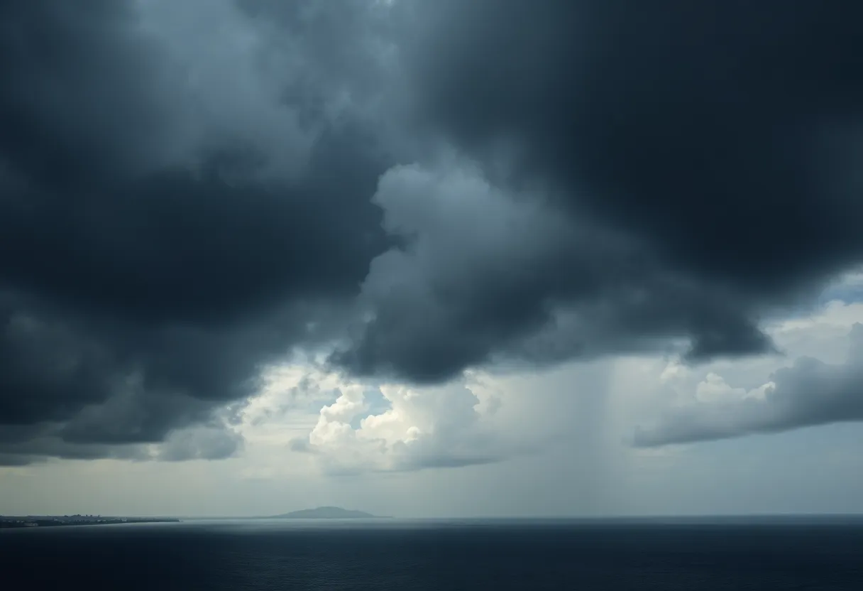
Hurricane Erin has been downgraded to a Category 3 storm as it continues to affect areas in Puerto Rico and the U.S. Virgin Islands, bringing heavy rains and significant flooding. As of Sunday, the storm was producing winds of 125 mph (205 kph), a decrease from its peak Category 5 status, which resulted in winds reaching 160 mph (260 kph).
Erin’s outer bands have caused heavy precipitation, with Cayey, Puerto Rico, experiencing 6.28 inches of rain, while St. John in the U.S. Virgin Islands recorded 7.32 inches of rain since Friday night. These downpours have led to extensive flooding and disrupted power, affecting approximately 147,000 customers in Puerto Rico.
Current Impact and Warnings
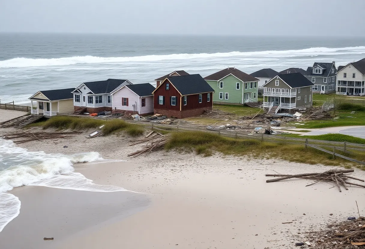
Although winds have diminished, the storm’s size is expected to increase. Hurricane-force winds are extending up to 60 miles from the storm’s center, with tropical-storm-force winds reaching outward up to 230 miles. A tropical storm warning has been issued for the Turks and Caicos Islands and the southeast Bahamas, while Dare County, North Carolina, has declared a state of emergency and initiated a mandatory evacuation of Hatteras Island starting Monday. Hazardous surf and rip currents are anticipated along the U.S. East Coast.
Future Forecast and Hazards
The National Weather Service has indicated that parts of North Carolina Highway 12 could become compromised due to heavy surf and strong winds. Throughout the week, Hurricane Erin is expected to remain powerful but gradually weaken, alongside projected heavy rains and rough ocean conditions for Hispaniola and other regions in the Caribbean.
While the Coast Guard has approved the reopening of all ports in Puerto Rico and the U.S. Virgin Islands as conditions improve, life-threatening surf warnings are set to remain valid for Bermuda, the U.S. East Coast, and Canada’s Atlantic coastline as Erin moves northeast.
Climate Change and Hurricane Patterns
Researchers have observed a correlation between the rapid intensification of hurricanes like Erin and climate change, attributing this trend to warmer ocean temperatures that contribute to hurricanes becoming more powerful, more quickly.
Impacts Summary
- Storm Status: Downgraded to Category 3
- Wind Speeds: 125 mph (205 kph)
- Peak Wind Speed: 160 mph (260 kph)
- Power Outages: 147,000 customers in Puerto Rico
- Rainfall: Cayey – 6.28 inches, St. John – 7.32 inches
- Geographic Warnings: Tropical storm warning for Turks and Caicos Islands; state of emergency in Dare County, NC
Frequently Asked Questions
What category is Hurricane Erin currently?
Hurricane Erin is currently classified as a Category 3 storm.
What areas are experiencing flooding?
Significant flooding has been reported in Puerto Rico and the U.S. Virgin Islands, particularly in Cayey and St. John.
How many customers lost power in Puerto Rico?
Approximately 147,000 customers have lost power in Puerto Rico due to the storm.
What are the expected impacts in North Carolina?
A state of emergency has been declared in Dare County, and a mandatory evacuation of Hatteras Island has been ordered due to expected life-threatening impacts.
Key Features of Hurricane Erin
| Feature | Detail |
|---|---|
| Current Category | 3 |
| Peak Wind Speed | 160 mph |
| Current Wind Speed | 125 mph |
| Total Rainfall in Cayey | 6.28 inches |
| Total Rainfall in St. John | 7.32 inches |
| Power Outages | 147,000 |
| Areas Under Warning | Turks and Caicos, Southeast Bahamas, Dare County, NC |
Deeper Dive: News & Info About This Topic
HERE Resources
Hurricane Erin Weakens to Category 3: Impact Spreads Across the Caribbean
Hurricane Erin Rapidly Intensifies to Category 5
Hurricane Erin Intensifies to Category 2 Near Leeward Islands
Hurricane Erin Threatens Oceanfront Homes in Rodanthe, NC
Tropical Storm Erin Expected to Strengthen into a Hurricane
Coastal Erosion Threatens Outer Banks Communities
Tropical Storm Erin Gaining Strength Threatens Outer Banks
Housing Survey Launched for Outer Banks Workers
Hazardous Beach Conditions Issued for Outer Banks
Courageous Rescue at Outer Banks Saves Woman and Child
Additional Resources
- MSN: Hurricane Erin Updates
- Wikipedia: Hurricane Erin
- AP News: Hurricane Erin
- Google Search: Hurricane Erin
- Newsday: Hurricane Erin Impact
- Encyclopedia Britannica: Hurricanes
- KRCG: Hurricane Erin Weakens
- Google Scholar: Hurricane Erin
- Daily Herald: Hurricane Erin Update
- Google News: Hurricane Erin


