Buxton, NC, October 3, 2025
News Summary
Buxton, North Carolina, is facing significant damage as Hurricanes Imelda and Humberto lead to the collapse of seven homes. The region has seen a total of nineteen collapses in five years, raising concerns over coastal erosion and home stability. While no injuries have been reported, the impact on the community is substantial, prompting a state of emergency declaration by Governor Josh Stein and efforts to combat beach erosion. Residents are advised to prepare for possible evacuation due to flooding and hazardous conditions.
Buxton, NC – Significant damage is being reported along parts of North Carolina’s coast as Hurricanes Imelda and Humberto continue to impact the area. In recent events, the sixth and seventh homes have collapsed in the Outer Banks, leading to fears of increased coastal erosion and instability in the region. Fortunately, all homes that were destroyed this week were unoccupied, and no injuries have been reported.
Seven homes collapsed in Buxton, North Carolina, on Tuesday and Wednesday due to powerful surf generated from the hurricanes. This brings the total number of beachfront homes that have collapsed in Dare County to nineteen over the last five years. Coastal communities along the southeastern United States are experiencing intense waves from both Humberto and Imelda, which have contributed to dangerous surf and coastal flooding impacting North Carolina’s Outer Banks.
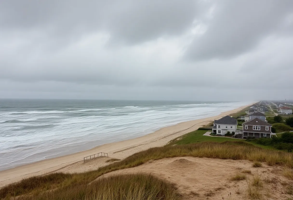
The area most affected by the storm damage is the town of Buxton on Hatteras Island. The most recent home collapse occurred on October 1, with the total number of collapses reaching nineteen since 2020. Notably, most of the homes that collapsed this week were built in the 1970s and 1980s, raising concerns about their structural integrity amidst the ongoing climate changes.
The manager of Dare County has indicated that efforts are being made to supply sand to help preserve the beach and ensure future stability. To further address ongoing issues of beach erosion and rising sea levels, beach nourishment and jetty repairs are targeted for implementation in 2026. Historical satellite imagery shows that the Buxton coastline has eroded more than 50 meters since 1993, raising alarms among residents and environmental officials.
In the face of these natural disasters, North Carolina Governor Josh Stein has declared a state of emergency in anticipation of further heavy rain and flooding. A Coastal Flood Watch has been issued for Dare County and Ocracoke Island due to the impact of Hurricane Erin. Currently, parts of NC 12 on Ocracoke Island have reopened between the northern Ferry Terminal and the National Park Service Pony Pens, although a section remains closed due to hazardous conditions.
Additionally, the Hatteras-Ocracoke ferry route has resumed normal operations but remains subject to change depending on ongoing weather conditions. Residents and visitors have been advised to secure their properties and evacuate with their personal belongings. Emergency services may be unavailable due to anticipated flooding and road washouts, enhancing the need for immediate action from the community.
As the situation develops, it is crucial for those in affected areas to stay informed about evacuation orders and to monitor official sources for updates.
Frequently Asked Questions
How many homes have collapsed in Buxton, NC, due to the hurricanes?
Seven homes collapsed in Buxton, North Carolina, on Tuesday and Wednesday, resulting from powerful surf from the hurricanes.
What precautions have been taken in response to the hurricanes?
A state of emergency has been declared and a mandatory evacuation order is in place for Hatteras Island and Ocracoke Island due to the expected flooding.
What is being done to address beach erosion in Dare County?
Efforts are underway to get sand to preserve the beach, and beach nourishment and jetty repairs are scheduled for the area in 2026.
Are there any injuries reported from the recent home collapses?
All homes that were destroyed this week were unoccupied, with no injuries reported.
How has the coastline of Buxton changed over the years?
Historical satellite imagery shows that the Buxton coastline has eroded more than 50 meters since 1993.
Deeper Dive: News & Info About This Topic
HERE Resources
Houses Collapse into Ocean in Buxton, North Carolina
Rip Current Warning Issued for North Carolina’s Outer Banks
Power Pole Explosion in Kitty Hawk Due to Thunderstorms
Beachfront House Collapses into Atlantic Ocean in Buxton
Coastal Storm Causes Vacation Home Collapse in Buxton
Buxton, North Carolina Home Collapses into Atlantic Ocean
Twelfth Home Collapses into Atlantic Ocean in Buxton
Coastal Flood Advisory Issued for Northern Outer Banks and Hatteras Island as Hurricane Erin Approaches
Hurricane Erin Strengthens to Category 4: North Carolina Prepares for Impact
Threats to North Carolina’s Highway 12: A Growing Concern
Additional Resources
- ABC11: Hurricane Imelda Causes Home Losses
- Wikipedia: Hurricane Imelda
- The Weather Network: Dual Hurricanes Impact North Carolina
- Google Search: Dual Hurricanes North Carolina
- ABC11: Tracking Tropical Storm Imelda
- Encyclopedia Britannica: Tropical Storm Imelda
- WRAL: Overwash along NC Highway 12
- Google News: Hurricane Erin NC
- ABC11: Hurricane Erin Approaches NC Coast
- Google Scholar: Hurricane Erin


