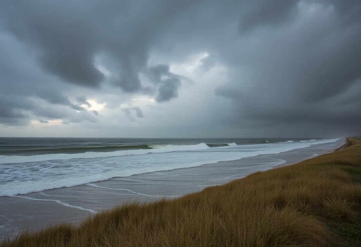
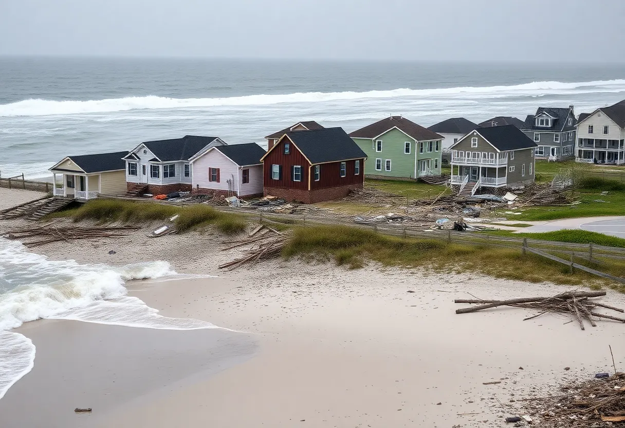
Outer Banks, NC, September 29, 2025
News Summary
A coastal flood advisory has been issued for the Northern Outer Banks as Hurricane Erin approaches, effective from Tuesday to Friday. Minor inundation of 1 to 2 feet is expected in low-lying areas, along with strong rip currents and beach erosion. Residents are urged to take precautions, evacuate if necessary, and avoid floodwaters. The hurricane, classified as a Category 2 storm, poses life-threatening conditions and has prompted evacuations in certain areas. Authorities are mobilizing resources to assist in potential rescue operations.
Coastal Flood Advisory Issued for Northern Outer Banks as Hurricane Erin Approaches
Morehead City, NC – The National Weather Service (NWS) Newport/Morehead City has issued a coastal flood advisory at 4:06 a.m. on Monday. This advisory is effective from Tuesday at 11 a.m. until Friday at 8 p.m. for the Northern Outer Banks as Hurricane Erin approaches the region.
According to the NWS, minor inundation of 1 to 2 feet above ground level is expected in low-lying areas near shorelines and tidal waterways. Additionally, strong rip currents are anticipated, especially around low tide, with the most severe rip currents likely to occur around 7 p.m. on Monday.
Minor flooding is predicted for roads and properties in low-lying areas, including parking lots, parks, and homes located near the waterfront. The advisory contains warnings about dangerous swimming and surfing conditions, as well as beach erosion due to the storm’s impacts.
Residents are advised against driving around barricades or through unknown water depths and are urged to take necessary precautions to protect flood-prone properties. Inexperienced swimmers should stay out of the water due to life-threatening rip currents. Those in flood-prone areas are encouraged to move to higher ground if necessary and evacuate immediately if instructed.
Authorities recommend precautions including locking homes, disconnecting utilities, and avoiding areas where electrical hazards could be present. They emphasize the danger of driving through floodwaters, as even just 12 inches of fast-moving water can carry away most vehicles, while hydroplaning may occur if vehicles slide uncontrollably on wet roads.
A Coastal Flood Watch was issued on Sunday at 8:36 p.m., also valid from Tuesday at 11 a.m. until Saturday at 8 a.m. for the same regions affected. Evacuations are underway along the Outer Banks as officials expect strong winds, waves, and significant storm surge from Hurricane Erin.
Hurricane Erin is currently classified as a Category 2 storm, posing life-threatening conditions along the East Coast. Tropical storm conditions and coastal flooding are forecasted to begin by late Wednesday. Evacuation orders have already been issued for Ocracoke Island, Hatteras Island, and other areas expecting severe storm impacts.
Forecasted storm surge inundation is predicted to be between 2 to 4 feet above ground level, presenting considerable threats to life and property. Moderate to severe flooding may extend inland from the waterfront, potentially resulting in structural damage.
Highway 12 on Hatteras Island may become impassable for several days due to the hurricane’s effects. Waves up to 20 feet are anticipated during the advisory period, with double red flags posted on beaches signaling dangerous conditions. Recent reports have indicated wind gusts reaching approximately 56 mph on Nags Head’s Jennette’s pier as conditions continue to deteriorate.
Emergency managers have mobilized resources, including swift water rescue teams and National Guard personnel, in anticipation of potential rescue operations. Continuous monitoring and updates regarding the storm’s progression and its aftereffects will be provided through various channels.
FAQ Section
What is the duration of the coastal flood advisory?
The advisory is effective from Tuesday at 11 a.m. until Friday at 8 p.m.
How much inundation is expected in low-lying areas?
Minor inundation of 1 to 2 feet above ground level is expected in low-lying areas near shorelines and tidal waterways.
What are the main dangers associated with Hurricane Erin?
Dangerous swimming and surfing conditions, beach erosion, and potential flooding of roads and low-lying properties are the main dangers.
What should residents do if they live in flood-prone areas?
Residents are urged to move to higher ground if necessary and to evacuate immediately if instructed.
What conditions are expected as Hurricane Erin approaches?
Residents should expect strong winds, significant storm surge, and tropical storm conditions from late Wednesday.
Key Features of Hurricane Erin’s Threat
| Feature | Details |
|---|---|
| Coastal Flood Advisory Duration | From Tuesday at 11 a.m. to Friday at 8 p.m. |
| Expected Inundation | 1 to 2 feet above ground level |
| Evacuation Areas | Ocracoke Island, Hatteras Island, and other locations |
| Wind Gusts Recorded | Approximately 56 mph |
| Potential Storm Surge | 2 to 4 feet above ground level |
| Expected Wave Height | Up to 20 feet |
Deeper Dive: News & Info About This Topic
HERE Resources
Hazardous Beach Conditions Alert for Outer Banks
SimpleSide Construction Takes Lead in Coastal Deck Building
Filming of ‘Outer Banks’ Halted Again by Weather
Hurricane Humberto Intensifies to Category 5 Threatening U.S. East Coast
Beachfront Home in Buxton Collapses into Atlantic Ocean
Coastal Erosion Claims Another Home in Buxton
Hampton Roads Weekend Events Highlight Entertainment and Culture
Mid-Currituck Bridge Project Advances with Key Permits
Coastal Storm Causes Severe Flooding in Virginia Beach
Two-Story Beachfront Home Collapses in Buxton, NC
Additional Resources
- News Observer: Coastal Flood Advisory Issued for Northern Outer Banks
- Wikipedia: Hurricane Erin
- Charlotte Observer: Weather Updates
- Google Search: Hurricane Erin North Carolina
- WXII12: Updates on Hurricane Erin
- Google Scholar: Hurricane Erin
- The Hill: Erin Threatens Outer Banks
- Encyclopedia Britannica: Hurricane Erin


