North Carolina, September 22, 2025
News Summary
The National Weather Service has issued a beach hazards statement for North Carolina, warning of life-threatening rip currents affecting East Carteret, Northern Outer Banks, Ocracoke Island, and Hatteras Island. The advisory emphasizes the dangers posed by rip currents and suggests safety measures for swimmers. Additionally, a coastal flood advisory has been issued for low-lying areas due to expected inundation. Residents are advised to take precautionary actions in the face of multiple coastal hazards.
Coastal Hazards Advisory Issued for North Carolina as Rip Current Risks Rise
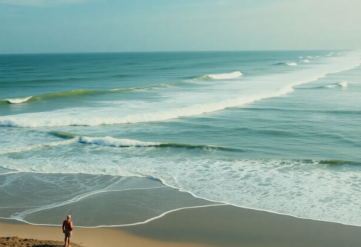
Newport, NC – The National Weather Service (NWS) Newport/Morehead City NC has issued a beach hazards statement warning of increased risks for rip currents along the coast of North Carolina. The advisory went into effect on Monday at 4:09 a.m. and will remain until 8 p.m. This advisory affects East Carteret, Northern Outer Banks, Ocracoke Island, and Hatteras Island.
The NWS describes rip currents as life-threatening and cautions that they can swiftly pull even the most proficient swimmers away from the shore into deeper waters. If a swimmer becomes trapped in a rip current, they are advised to stay calm, swim parallel to the shore, and float or tread water if tired. If unable to escape, the swimmer should face the shore and signal for help.
Another beach hazards statement was released on Sunday at 8:02 p.m. for East Carteret and Ocracoke Island, echoing similar warnings of rip currents affecting the area.
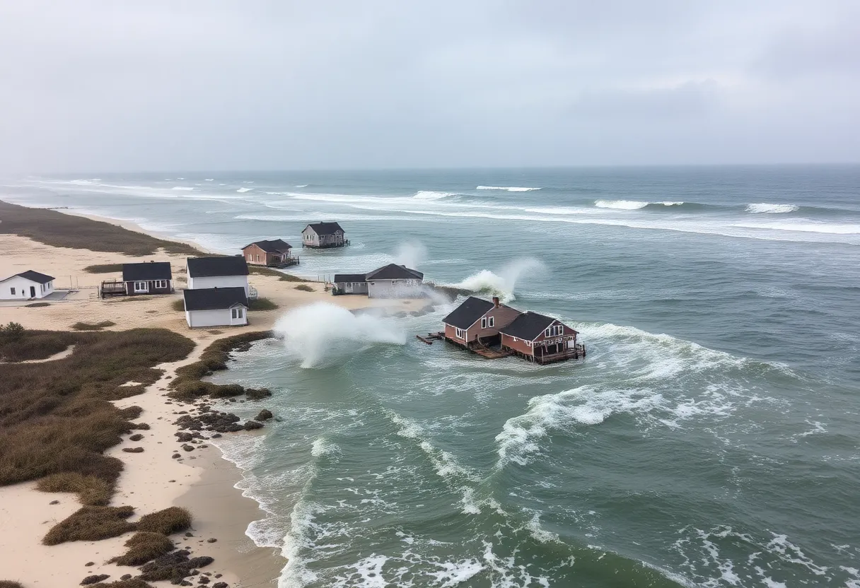
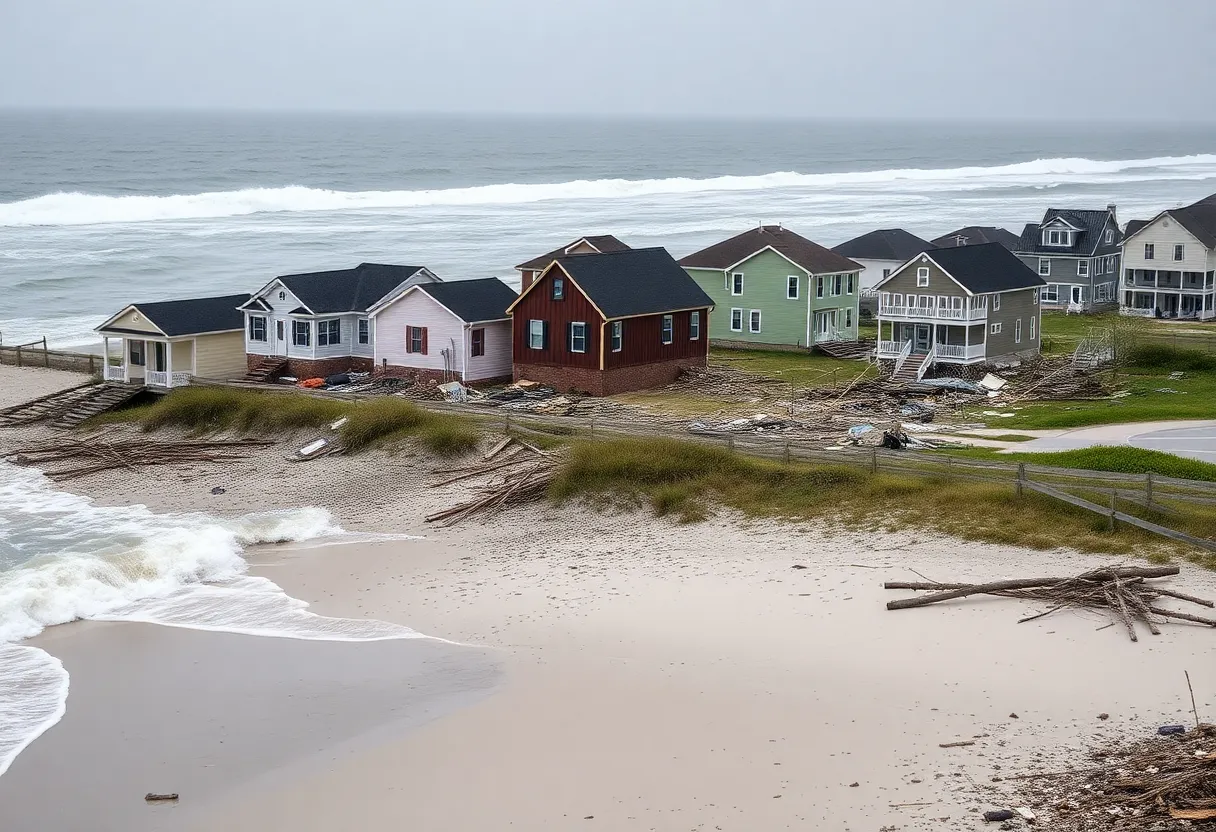
In addition to the beach hazards statement, an updated coastal flood advisory was issued on Monday at 11:09 a.m., which will remain in effect until Tuesday at 5 a.m. for East Carteret. The NWS anticipates that there will be 1 to 2 feet of inundation above ground level in low-lying areas along shorelines and tidal waterways.
Potential for Multiple Coastal Hazards
A coastal low weather system affecting the area may result in several coastal hazards, including strong rip currents expected around low tide at approximately 9:30 p.m. on Monday. The NWS warns that areas susceptible to flooding, such as lots, parks, and roads, may experience significant water levels, although only isolated road closures are anticipated.
In addition to rip current dangers, the advisory indicates that hazardous shore breaks could lead to injuries for swimmers and surfers, while strong longshore currents will create treacherous swimming conditions. The NWS recommends travelers allow extra time as some roads may be closed due to flooding and urges the public not to drive around barricades or through unknown depths of water.
Emergency Actions and Flood Precautions
Residents in flood-prone areas should take emergency actions including seeking higher ground, securing homes before leaving, and avoiding electrical hazards in flooded zones. The NWS emphasizes that even 6 inches of moving water can pose a serious risk of knocking a person off their feet, while 12 inches of rapidly flowing water can easily carry away most vehicles.
Recent incidents underline dangers
An incident occurred at Holden Beach on Saturday where four individuals were rescued from rip currents. Two people were hospitalized but later released. The incident involved a man and a teenage girl caught while swimming near The Point, prompting two bystanders to jump in for rescue but needing assistance themselves. The Tri-Beach Volunteer Fire Department was called to respond to this situation.
Concerns about rip currents have been underscored by a previous incident just two weeks earlier, where 13 individuals had to be rescued from rip currents at Emerald Isle beaches, showcasing the continued hazards present in coastal waters.
Conclusion
The public is urged to remain vigilant and informed about the potential dangers while enjoying beaches and coastal waters in North Carolina. Swimmers and beachgoers should heed all safety warnings and exercise caution at all times.
FAQ
What kind of advisory was issued by the NWS for North Carolina?
The National Weather Service issued a beach hazards statement warning of increased risks for rip currents.
Which areas are affected by the advisory?
The advisory affects East Carteret, Northern Outer Banks, Ocracoke Island, and Hatteras Island.
Until when is the advisory in effect?
The advisory is in effect until 8 p.m.
What should swimmers do if caught in a rip current?
If caught in a rip current, swimmers should remain calm, swim parallel to the shore, and float or tread water if tired.
What flooding impacts are expected due to the advisories?
The NWS expects 1 to 2 feet of inundation above ground level in low-lying areas near shorelines and tidal waterways.
What emergency actions should residents in flood-prone areas take?
Emergency actions include seeking higher ground, locking homes upon departure, and avoiding electrical hazards in flooded areas.
What recent incidents have highlighted the dangers of rip currents?
One incident at Holden Beach saw four individuals rescued from rip currents, and two weeks prior, 13 individuals were rescued from rip currents at Emerald Isle beaches.
{
“@context”: “https://schema.org”,
“@type”: “FAQPage”,
“mainEntity”: [
{
“@type”: “Question”,
“name”: “What kind of advisory was issued by the NWS for North Carolina?”,
“acceptedAnswer”: {
“@type”: “Answer”,
“text”: “The National Weather Service issued a beach hazards statement warning of increased risks for rip currents.”
}
},
{
“@type”: “Question”,
“name”: “Which areas are affected by the advisory?”,
“acceptedAnswer”: {
“@type”: “Answer”,
“text”: “The advisory affects East Carteret, Northern Outer Banks, Ocracoke Island, and Hatteras Island.”
}
},
{
“@type”: “Question”,
“name”: “Until when is the advisory in effect?”,
“acceptedAnswer”: {
“@type”: “Answer”,
“text”: “The advisory is in effect until 8 p.m.”
}
},
{
“@type”: “Question”,
“name”: “What should swimmers do if caught in a rip current?”,
“acceptedAnswer”: {
“@type”: “Answer”,
“text”: “If caught in a rip current, swimmers should remain calm, swim parallel to the shore, and float or tread water if tired.”
}
},
{
“@type”: “Question”,
“name”: “What flooding impacts are expected due to the advisories?”,
“acceptedAnswer”: {
“@type”: “Answer”,
“text”: “The NWS expects 1 to 2 feet of inundation above ground level in low-lying areas near shorelines and tidal waterways.”
}
},
{
“@type”: “Question”,
“name”: “What emergency actions should residents in flood-prone areas take?”,
“acceptedAnswer”: {
“@type”: “Answer”,
“text”: “Emergency actions include seeking higher ground, locking homes upon departure, and avoiding electrical hazards in flooded areas.”
}
},
{
“@type”: “Question”,
“name”: “What recent incidents have highlighted the dangers of rip currents?”,
“acceptedAnswer”: {
“@type”: “Answer”,
“text”: “One incident at Holden Beach saw four individuals rescued from rip currents, and two weeks prior, 13 individuals were rescued from rip currents at Emerald Isle beaches.”
}
}
]
}
Key Features of the Coastal Hazard Advisory
| Feature | Description |
|---|---|
| Type of Advisory | Beach Hazards Statement |
| Affected Areas | East Carteret, Northern Outer Banks, Ocracoke Island, Hatteras Island |
| Validity | Until 8 p.m. |
| Risks | Life-threatening rip currents, coastal flooding |
| Flooding Inundation | 1 to 2 feet in low-lying areas |
| Historical Incidents | Four rescues at Holden Beach, 13 rescues at Emerald Isle |
Deeper Dive: News & Info About This Topic
HERE Resources
Rip Current Warning Issued for North Carolina’s Outer Banks
Power Pole Explosion in Kitty Hawk Due to Thunderstorms
Updated Beach Hazards and Coastal Flood Advisory in Northern Outer Banks
Oceanfront Home in Buxton Collapses into Atlantic Ocean
Tropical Disturbance May Develop into Depression This Week
Impact of Erosion and Climate Change on North Carolina’s Highway 12
Modular Home Blown Off Trailer in Outer Banks Incident
Coastal Storm Threatens Mid-Atlantic with Heavy Rain and Winds
NCDOT Announces Speed Limit Changes Along N.C. 12
North Carolina’s Outer Banks Brace for Hurricane Erin
Additional Resources
- Herald Sun
- Wikipedia: Rip Current
- Charlotte Observer
- Google Search: Rip Current Safety
- WNCT
- Google Scholar: Coastal Flooding Risks
- CBS 17
- Encyclopedia Britannica: Coastal Flood
- WITN
- Google News: NC Weather Advisories
- WCTI 12
- Carolina Coast Online


