Outer Banks, NC, September 15, 2025
News Summary
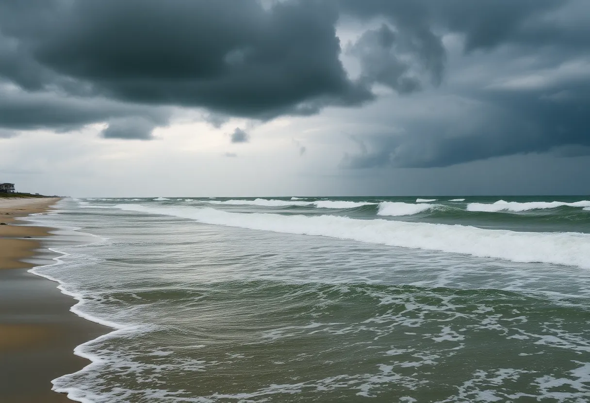
As Hurricane Erin approaches the Outer Banks, a high surf advisory has been issued, warning of dangerous conditions including large waves, strong rip currents, and potential flooding. Residents and beachgoers are urged to take precautions, avoid the ocean, and prepare for possible evacuations as impacts from the storm are expected to commence by late Wednesday and continue into the weekend.
North Carolina’s Outer Banks Prepare for Hurricane Erin’s Impact
An updated high surf advisory has been issued by the National Weather Service (NWS) for the Northern Outer Banks and Hatteras Island, effective Monday between 2 a.m. and 8 p.m. The advisory forecasts large breaking waves ranging from 5 to 10 feet and emphasizes the dangers posed by strong rip currents.
As Hurricane Erin approaches, expected conditions include hazardous swimming and surfing environments, localized beach erosion, and minor flooding of accessible areas. Isolated road closures are anticipated, particularly as the sea conditions worsen.
Advisory Details
The NWS advises that the most dangerous rip currents will occur a few hours on either side of low tide, which is around 8 a.m. on Monday. These rip currents can easily sweep even the most adept swimmers away from the shore. The advisory warns of serious injuries due to dangerous shore break and strong longshore currents, encouraging inexperienced swimmers to remain out of the water entirely.
Precautions have been outlined for beachgoers, with guidance to allow extra time for travel as some roads may be closed. Residents should avoid driving around barricades or through unknown water depths. Property owners in flood-prone areas are also advised to take necessary protective measures.
Impacts of Hurricane Erin
As of Tuesday morning, Hurricane Erin has been classified as a Category 2 hurricane, with forecasters predicting life-threatening conditions. Coastal flooding and tropical storm conditions are expected to impact the Outer Banks starting late Wednesday. The issuance of a Storm Surge Watch from Cape Lookout to Duck, NC indicates the potential for moderate to significant storm surge inundation between 2 to 4 feet above ground level.
Severe flooding may extend inland, affecting homes and businesses and potentially leading to structural damage. Portions of Highway 12 on Hatteras Island are anticipated to be impassable for several days due to the expected flooding.
Forecasted Conditions
Winds in the Outer Banks could reach up to 60 mph, accompanied by waves as high as 20 feet. The advisory is anticipated to remain in effect through Friday night, with conditions peaking between Wednesday and Thursday.
In recent days, numerous rescues along the East Coast have been reported due to rip currents, prompting officials to stress the importance of staying out of the ocean during this period.
Summary of Key Features
| Feature | Details |
|---|---|
| High Surf Advisory Timings | Monday, 2 a.m. to 8 p.m. |
| Expected Wave Height | 5 to 10 feet (potentially up to 20 feet) |
| Rip Current Peak Times | Couple of hours around 8 a.m. low tide |
| Storm Surge Predictions | 2 to 4 feet above ground level |
| Highway Impact | Portions of Highway 12 likely impassable |
| Forecasted Winds | Up to 60 mph |
Frequently Asked Questions (FAQ)
What is a high surf advisory?
A high surf advisory indicates the presence of dangerous wave conditions that pose risks to beachgoers, including large waves and strong rip currents.
What precautions should swimmers take during this advisory?
Swimmers, particularly inexperienced ones, are strongly advised to stay out of the water due to dangerous surf conditions and strong rip currents.
How long will the high surf advisory be in effect?
The high surf advisory is in effect until Monday at 8 p.m., but conditions are expected to last through Friday night.
What should residents do to prepare for Hurricane Erin?
Residents should take precautions to protect flood-prone properties and be prepared for potential evacuations and road closures.
Deeper Dive: News & Info About This Topic
HERE Resources
Coastal Flood Advisory Issued for Northern Outer Banks and Hatteras Island as Hurricane Erin Approaches
Virginia Reports Record Tourist Spending in 2024
Explore the Beauty and Adventure of Outer Banks, North Carolina
New Advocacy Group Forms to Support Ocracoke Ferry System
North Carolina Faces Hurricane Vulnerability Amid FEMA Criticism
Dare County Tourism Board Approves Boardwalk Construction
Carolina Beach Faces Increasing Flood Risks Due to Supermoon Tides
Boosting Housing Solutions in North Carolina
Homeowners in Rodanthe Face Erosion Challenges
Hurricane Erin Causes Devastating Flooding in Outer Banks
Additional Resources
- Charlotte Observer
- Wikipedia: Hurricane Erin
- CBS News
- Encyclopedia Britannica: Hurricane Erin
- Fox Weather
- Google Search: Hurricane Erin
- ABC7 News
- Google News: Hurricane Erin


