News Summary
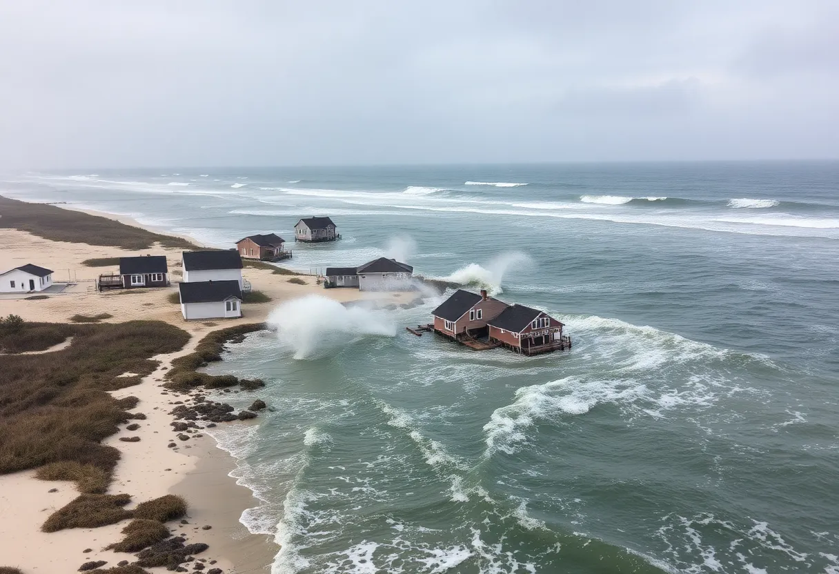
Tropical Storm Chantal made landfall in South Carolina near Litchfield Beach, bringing heavy rain and potential flooding. The storm has weakened to a tropical depression but continues to impact the Carolinas and Southeastern Virginia, prompting warnings for significant precipitation and gusty winds. Flood watches are in effect across the region as residents prepare for severe weather conditions and the potential for flash flooding.
Litchfield Beach, South Carolina – Tropical Storm Chantal made landfall in South Carolina near Litchfield Beach at 4 a.m. EDT on Sunday, bringing heavy rain and potential flooding to the region. By midday Sunday, the storm had weakened and was downgraded to a tropical depression, located approximately 80 miles west of Wilmington, North Carolina, with sustained winds near 35 mph and a northward movement at 9 mph.
Tropical storm warnings were issued for various portions of the Carolinas as Chantal continues to impact Southeastern Virginia and northeastern North Carolina, where the storm’s outer bands are expected to bring significant precipitation through Sunday and into Monday. Residents in these areas are being cautioned to prepare for heavy rain, gusty winds, and embedded thunderstorms.
Weather Conditions and Forecast
Residents of Virginia Beach and the Outer Banks have been alerted to a high risk of rip currents along the coast due to storm-related conditions through Sunday evening. Early Sunday morning, rain began to fall in northeastern North Carolina, with heavier downpours projected later in the day. Rainfall totals throughout the affected regions are expected to range from 1/4 to 1 inch, while localized amounts could reach up to 2 inches, creating flash flood risks.
The National Weather Service has warned that winds may gust up to 30 mph in stronger bands associated with Chantal. Although the risk of tornadoes remains low, isolated brief tornadoes may form within the storm’s outer bands. By Sunday evening, as rainfall intensified, central North Carolina experienced up to two months’ worth of rain in just one day, leading to widespread flooding. A rain gauge north of Bynum, North Carolina recorded over 14 inches of rain, exacerbating the situation.
Flood Watches and Warnings
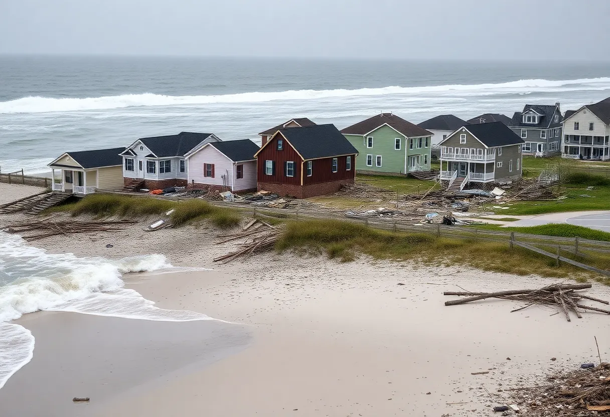
Flood watches have been issued for central North Carolina and south-central Virginia extending through Monday, with rainfall totals predicted to reach between 2 to 4 inches, and localized amounts potentially exceeding 6 inches. Reports indicated at least four tornadoes in North Carolina, with damage noted to hangars and aircraft at the Raleigh Executive Jetport. The storm has resulted in hundreds of road closures across the state and left numerous homes and businesses submerged.
By early Monday, Tropical Storm Chantal was moving into south-central Virginia near the North Carolina-Virginia border, prompting flood watches to extend north to Richmond, Virginia. As the storm’s remnants push further north, heavy showers and thunderstorms are anticipated from Washington D.C. to New York. Dangerous surf conditions and rip currents are expected to prevail from Florida to the Northeast.
Context of the Storm
The landfall of Chantal marks the earliest for the current hurricane season in the U.S. since 2022, following an unpredictable weather pattern this summer. The dissipation of the storm is expected to bring a return of heat and humidity over the coming days, leading to potential afternoon and evening storms.
Authorities continue to monitor the situation closely, especially concerning the potential for record-high cresting of the Haw River, which could reach alarming levels. Residents are encouraged to stay informed about weather updates and take necessary precautions in the face of ongoing storm impacts.
Deeper Dive: News & Info About This Topic
HERE Resources
Tropical Storm Chantal Strikes North Carolina
Tropical Storm Chantal Hits South Carolina Coast
Tropical Storm Chantal Hits the Southeast U.S. Coast
Tropical Depression 3 Forms Off South Carolina Coast
Tropical Storm Watch Issued for North and South Carolina Coastlines
Tropical Depression Three Forms Off The Southeast Coast
Major Heat Wave Set to Impact 255 Million Americans
Severe Weather and Flash Flood Alerts in Eastern North Carolina
Warm and Humid Weather with Thunderstorms in Eastern Carolina
House Bill 442 Aims to Restore Fishing Season in North Carolina
Additional Resources
- Washington Post: Tropical Storm Chantal Forecast
- Wikipedia: Tropical Storm
- WTVR: Today’s Forecast for Richmond
- Google Search: Tropical Storm Chantal
- New York Times: Tropical Storm Chantal News
- Encyclopedia Britannica: Tropical Storm Chantal
- AP News: Tropical Storm Chantal Updates
- Google News: Tropical Storm Chantal


