News Summary
Tropical Storm Chantal made landfall in South Carolina and moved into North Carolina, causing heavy rainfall, flash flooding, and isolated tornado threats. The Piedmont region, particularly Alamance and Randolph counties, experienced significant flooding and wind damage. The National Weather Service issued warnings as the storm caused major river flooding and confirmed tornado touchdowns in nearby areas. Residents are advised to stay safe and avoid unnecessary travel as cleanup efforts commence.
Greensboro, North Carolina – Tropical Storm Chantal made landfall in South Carolina and moved into North Carolina over the weekend, bringing heavy rainfall, flash flooding, and isolated tornado threats, particularly to Central North Carolina’s Piedmont region. As the storm’s center tracked east of the Piedmont Triad, local weather teams monitored the situation closely while the National Weather Service issued warnings for those in affected areas.
During the storm, rainfall totals in regions such as Alamance, Randolph, and Caswell counties ranged from 2 to 6 inches. Ongoing flash flood warnings were issued, with an additional 1 to 3 inches of rain expected before the system moved away late Sunday night. The Haw River had risen to major flood stage late Sunday night, measuring just under 32 feet—only a foot away from record flooding levels of 32.8 feet influenced by Hurricane Florence in September 2018.
The crest of the Haw River surpassed flooding events from recent past storms, with floodwaters at 28 feet reaching the I-40 bridge. As the water level remained high, officials anticipated it would stay above moderate flood stage until late Monday afternoon, with a return to below flood stage projected for late Monday night.
Isolated tornadoes also posed a threat as Chantal swept through Central North Carolina, notably affecting eastern Triad communities. The National Weather Service confirmed two tornado touchdowns—one at Raleigh Executive Jetport in Lee County, which caused damage to hangars and aircraft, and another in Chatham County near Moncure, where multiple trees were reported down. Additionally, a possible third tornado touchdown near Mebane has prompted further investigation by the NWS.
During tornado warnings, residents are advised to seek shelter on the lowest floor of a building and stay away from windows to ensure safety. The storm, which originated from a low-pressure system near Florida and Georgia on July 4, briefly intensified over Gulf Stream waters, producing peak sustained winds of 60 mph early Sunday morning.
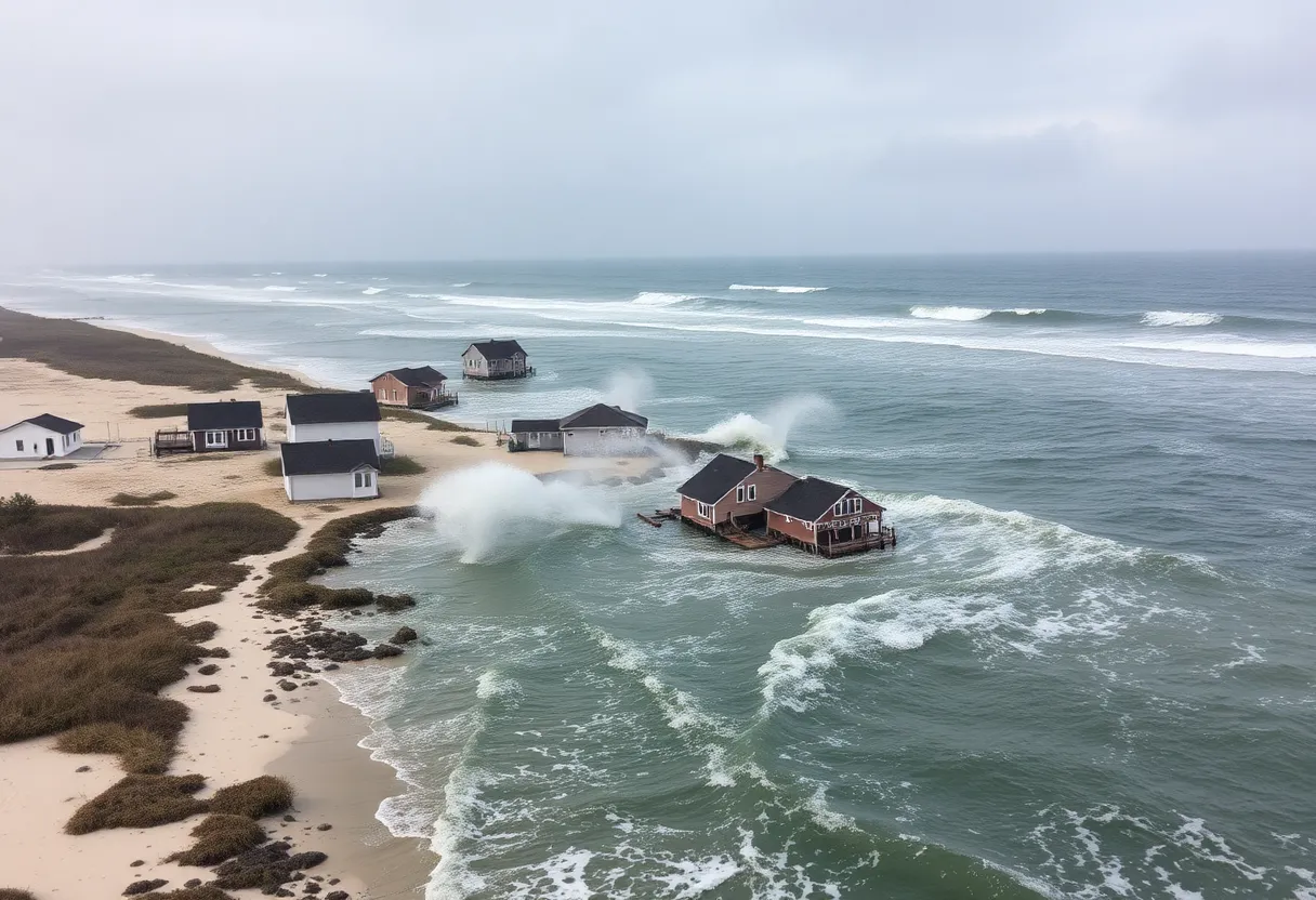
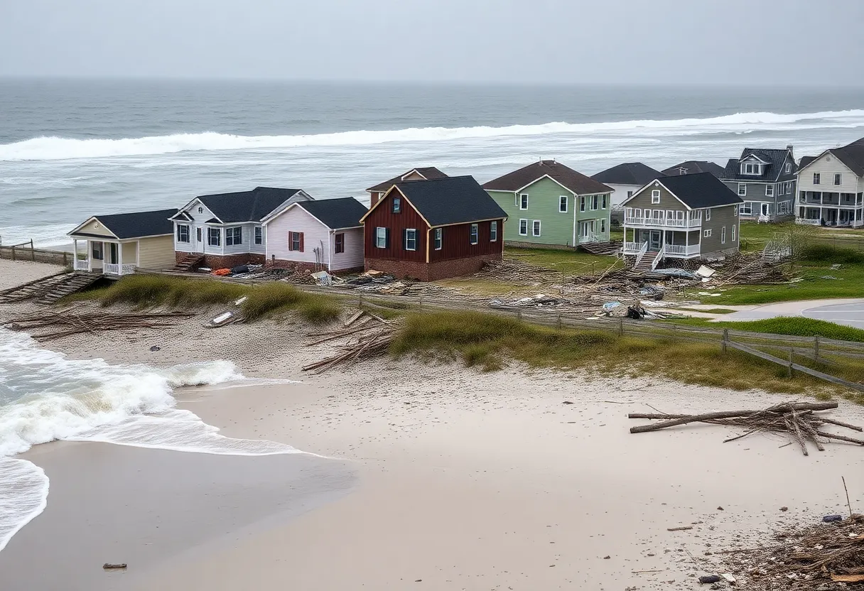
Coastal areas from Charleston, South Carolina, to the Outer Banks in North Carolina experienced the storm’s tropical rainbands through Sunday afternoon. Reports indicated wave heights of 8 to 10 feet prior to Chantal’s landfall. In Alamance County, rainfall rates spiked, with measurements as high as 1.5 inches per hour, leading to estimates of up to 9 inches of rain in certain areas, including between Snow Camp and Saxapahaw. Highway 54 was reported underwater in Graham, while Mebane officials advised against unnecessary travel due to the hazardous flooding conditions, enforcing road closures where necessary.
Emergency management officials in Mebane have encouraged local citizens to avoid travel unless absolutely necessary, as flooding risks and detours from accidents are prevalent. Residents were also given guidance on treating intersections without power as four-way stops to enhance safety during these tumultuous conditions.
As Chantal’s remnants moved away from the state, tropical weather impacts were still expected in coastal cities from Myrtle Beach to Surf City. Significant rainfall was projected for northeastern South Carolina and parts of North Carolina as the storm dissipated, with ongoing risks of flash flooding remaining a concern into Monday.
Overall, Tropical Storm Chantal has created severe weather challenges for residents of Central and eastern North Carolina, illustrating the need for continued caution and preparedness in the face of rapidly changing weather conditions.
Deeper Dive: News & Info About This Topic
HERE Resources
Tropical Storm Chantal Hits South Carolina Coast
Tropical Storm Chantal Hits the Southeast U.S. Coast
Tropical Depression 3 Forms Off South Carolina Coast
Tropical Depression Three Forms Off The Southeast Coast
North Carolina Launches Hurricane Preparedness Campaign
Additional Resources
- WXII 12 News
- Wikipedia: Tropical Storm Chantal (2023)
- WYFF 4 News
- Google Search: Tropical Storm Chantal
- ABC 45 News
- Encyclopedia Britannica: Tropical Storm Chantal


